
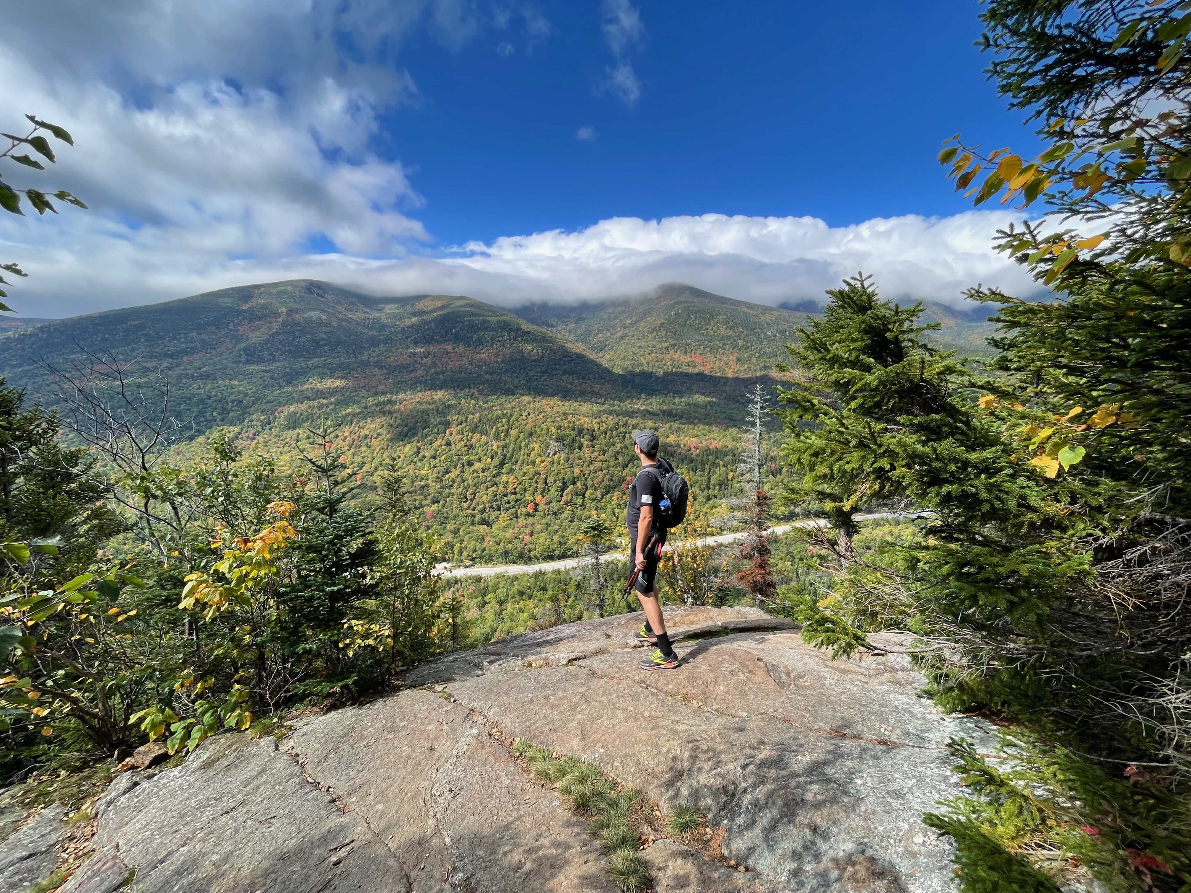
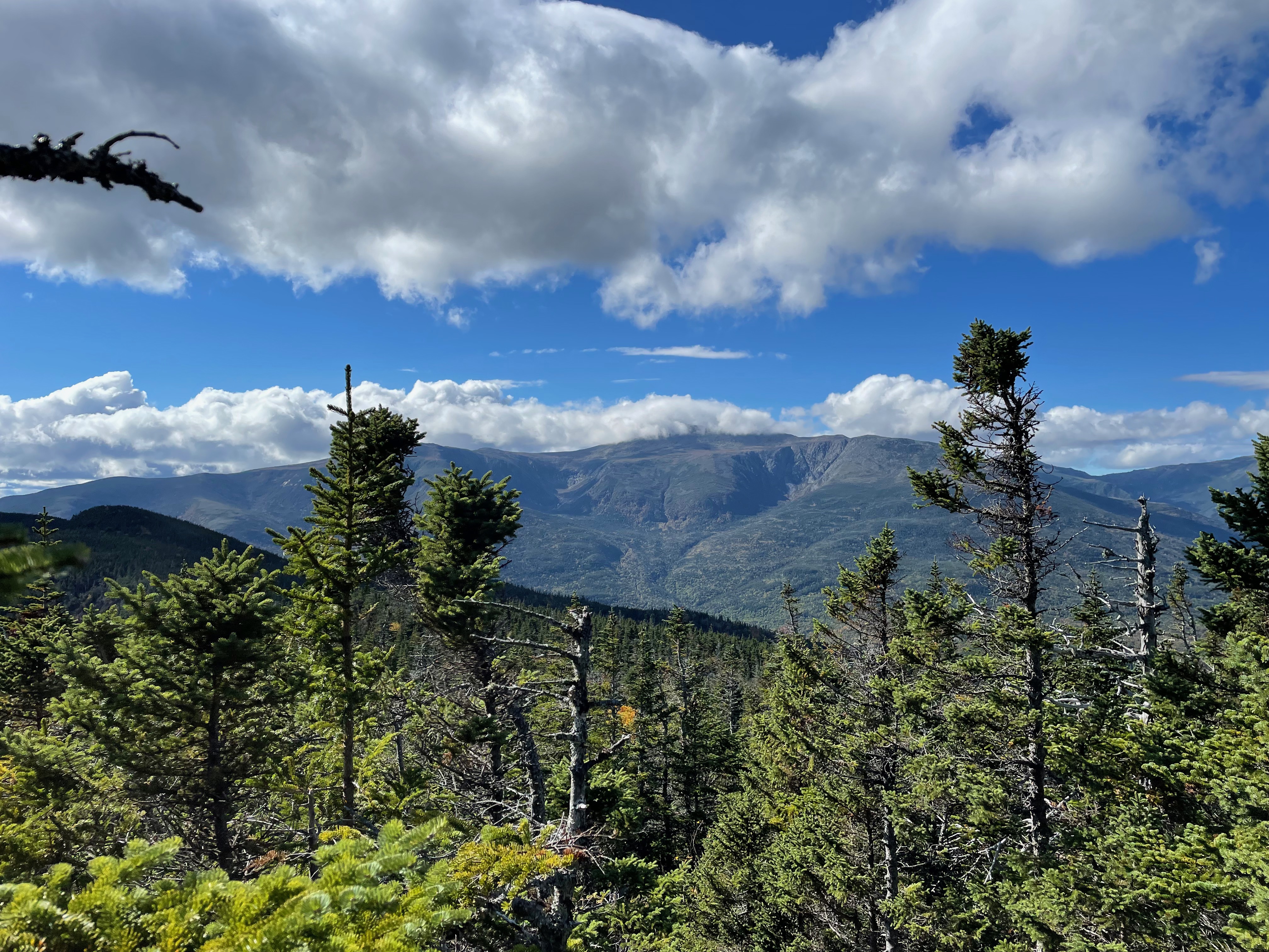
The Wildcats are a rugged section of the Appalachian Trail in New Hampshire that offers some amazing views of Mount Washington and the Presidentials in the White Mountains. The trail is a mix of rocky, steep, and muddy sections that is definitely on the difficult side of hikes in this region.
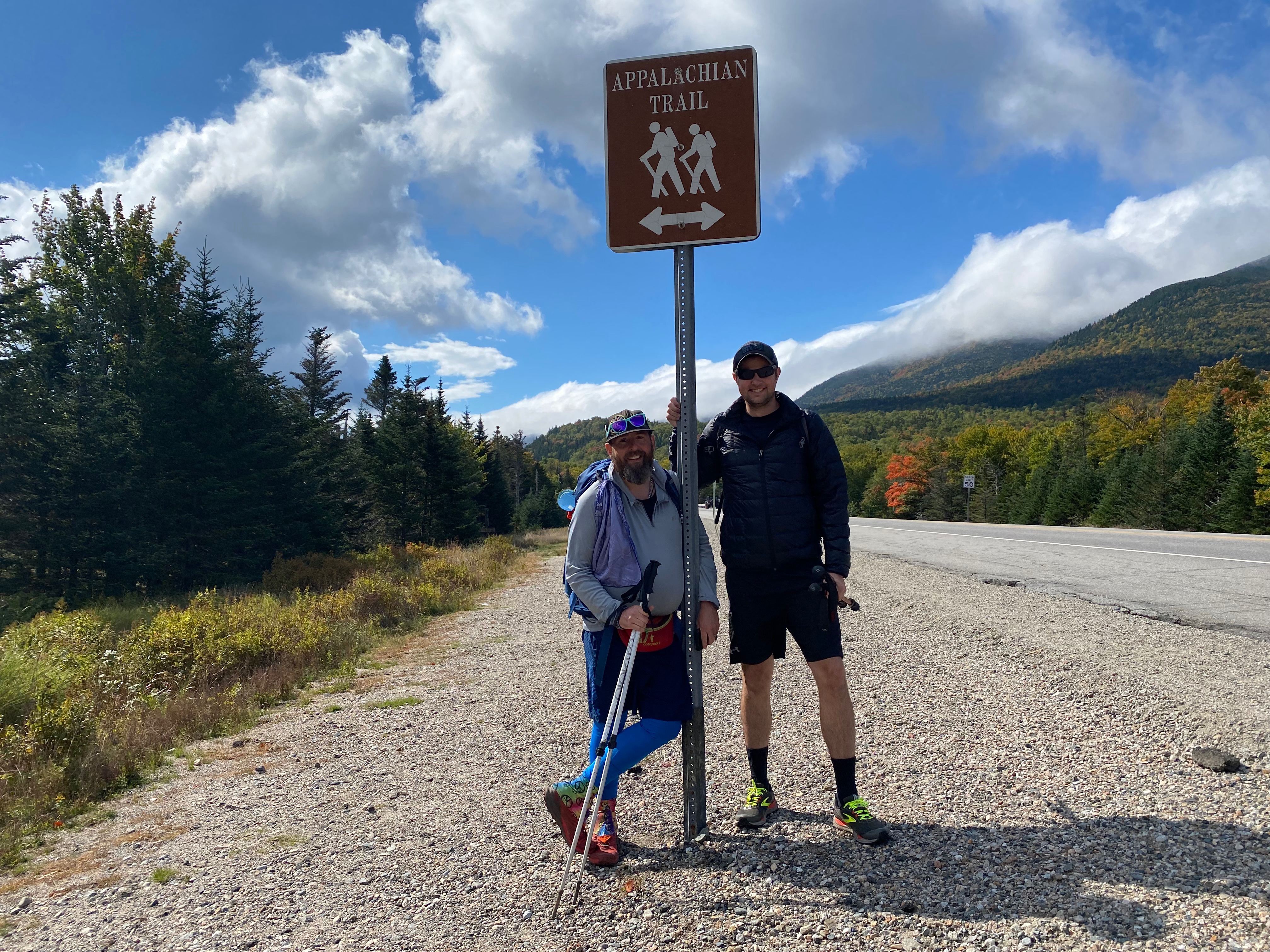
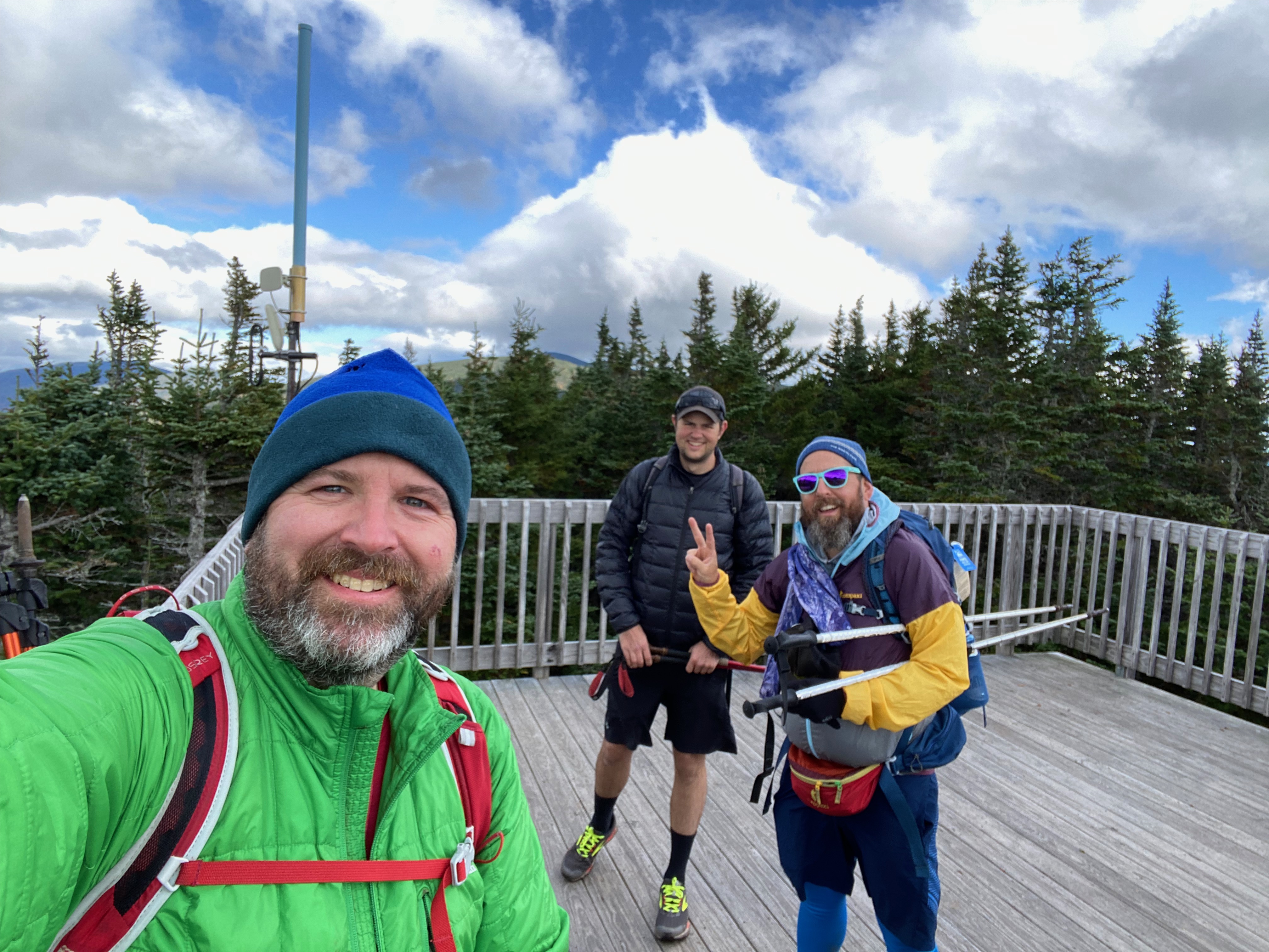
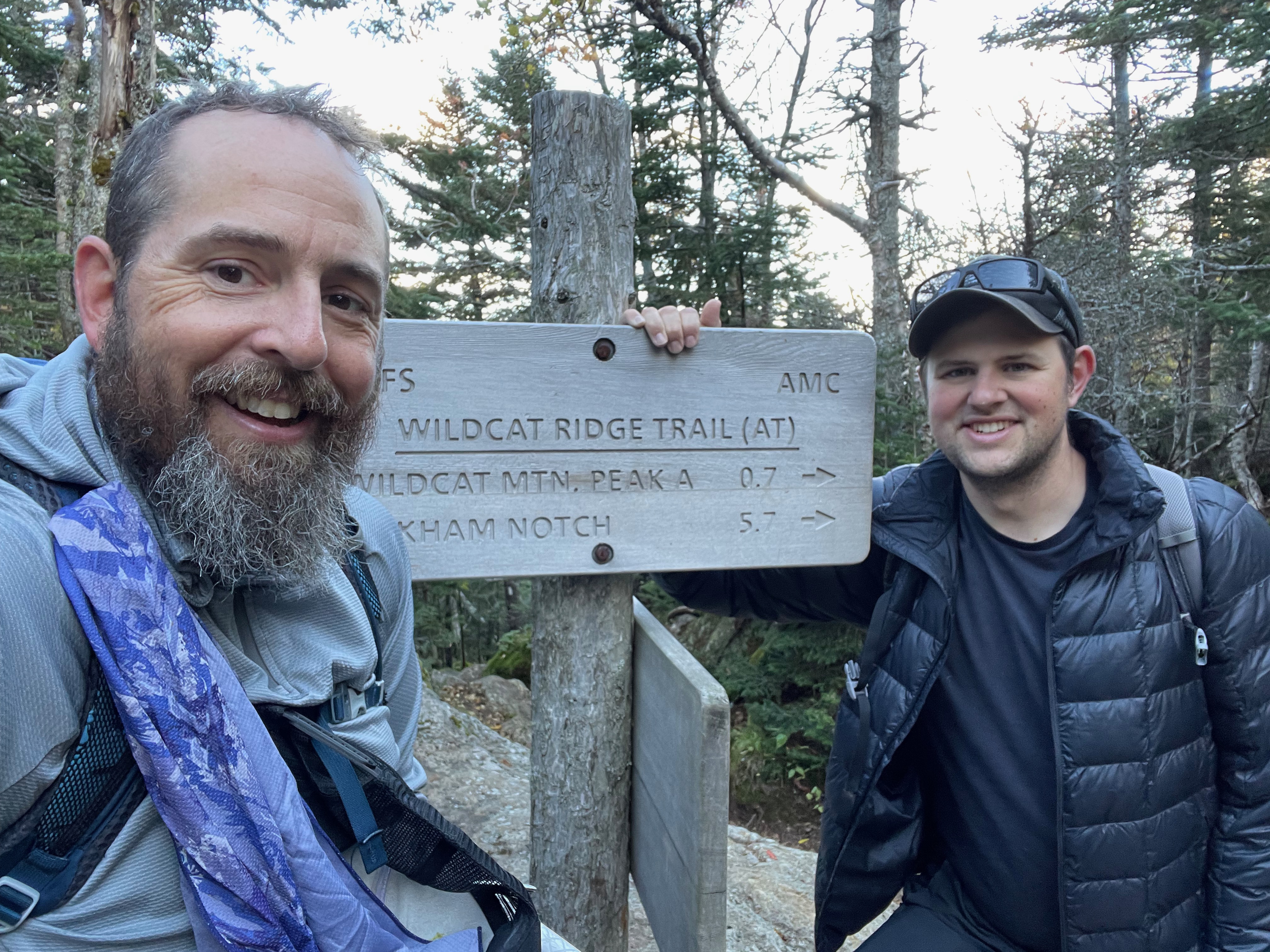
We hiked the Wildcats from Pinkham Notch to Carter Notch on the Appalachian Trail and then followed the Nineteen Mile Brook Trail down from Carter Notch to the trailhead on Route 16. This end to end hike included the summits of Wildcat D (4062′) and Wildcat (4422′), both of which are part of the New Hampshire 48 and New England 4000-footers. We followed the Lost Pond Trail, Wildcat Ridge Trail, and Nineteen Mile Brook Trail in this 10 mile hike with 2992′ of elevation gain.
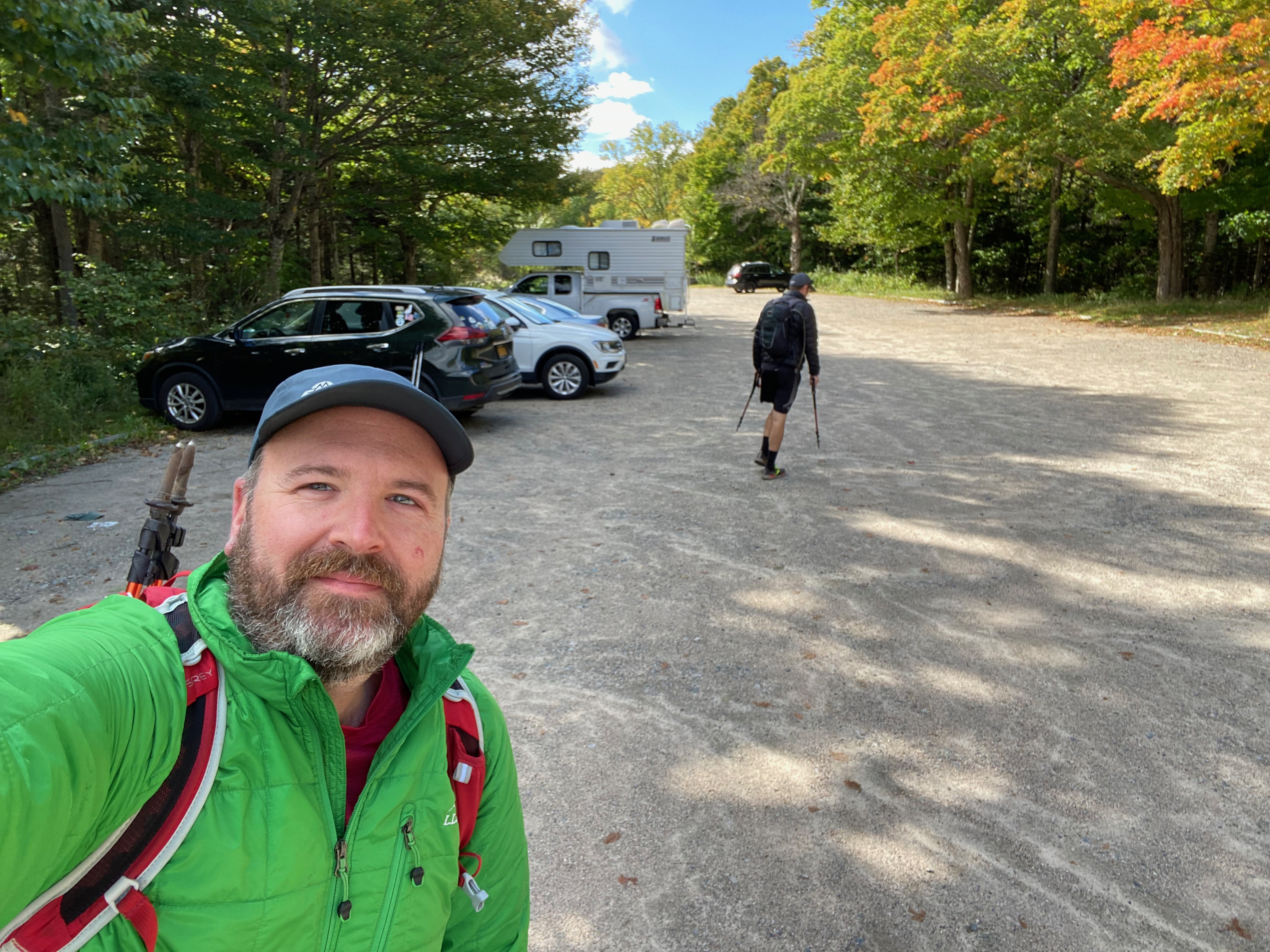
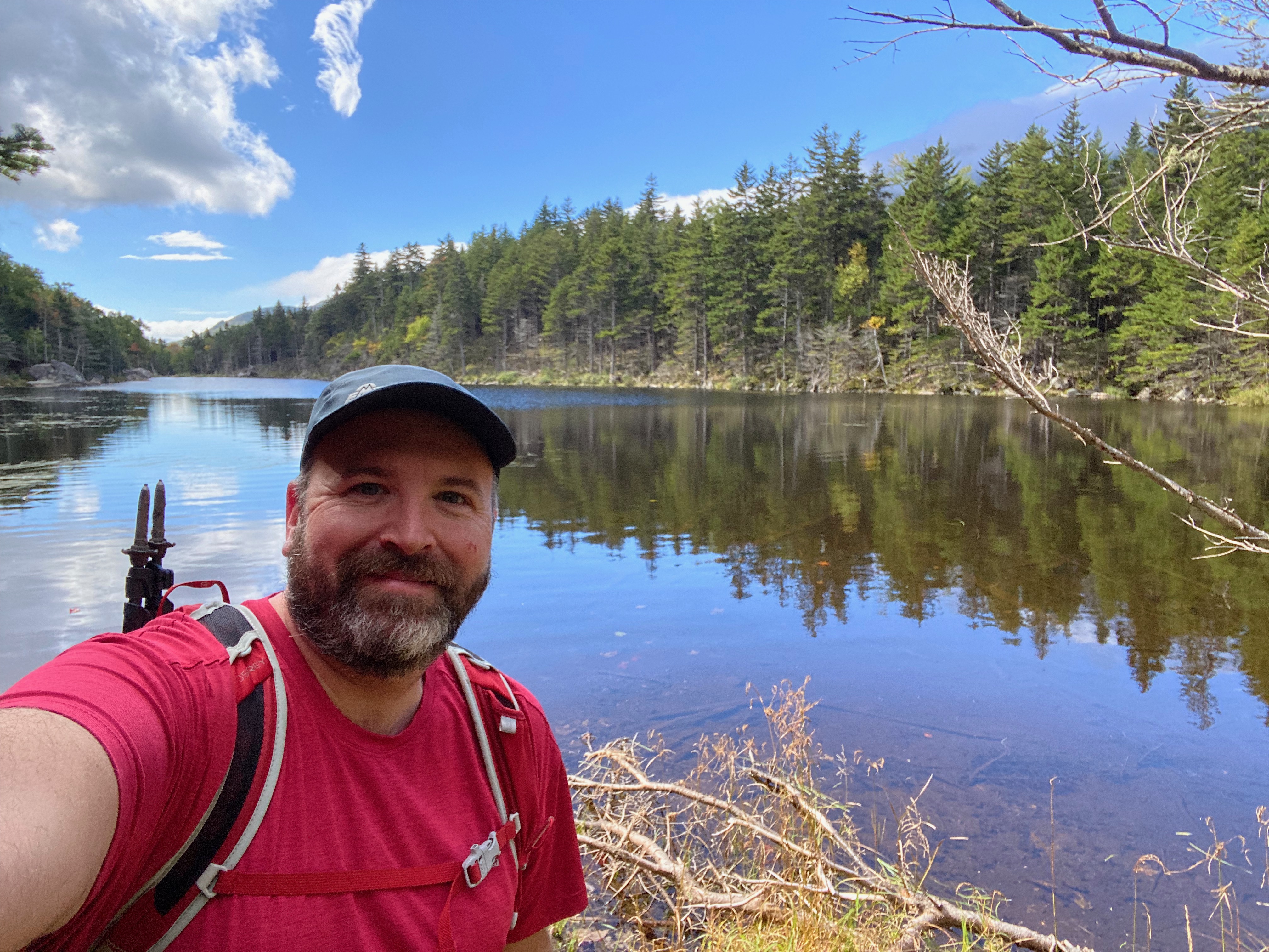
We began at the Pinkham Notch Visitor Center, crossing Route 16 and then followed the Lost Pond Trail about a mile to its junction with the Wildcat Ridge Trail (both of which the Appalachian Trail follows). The Lost Pond Trail climbs gently to Lost Pond at about a half a mile, then follows the shoreline of the lake for a bit, before descending slightly to the junction with the Wildcat Ridge Trail.
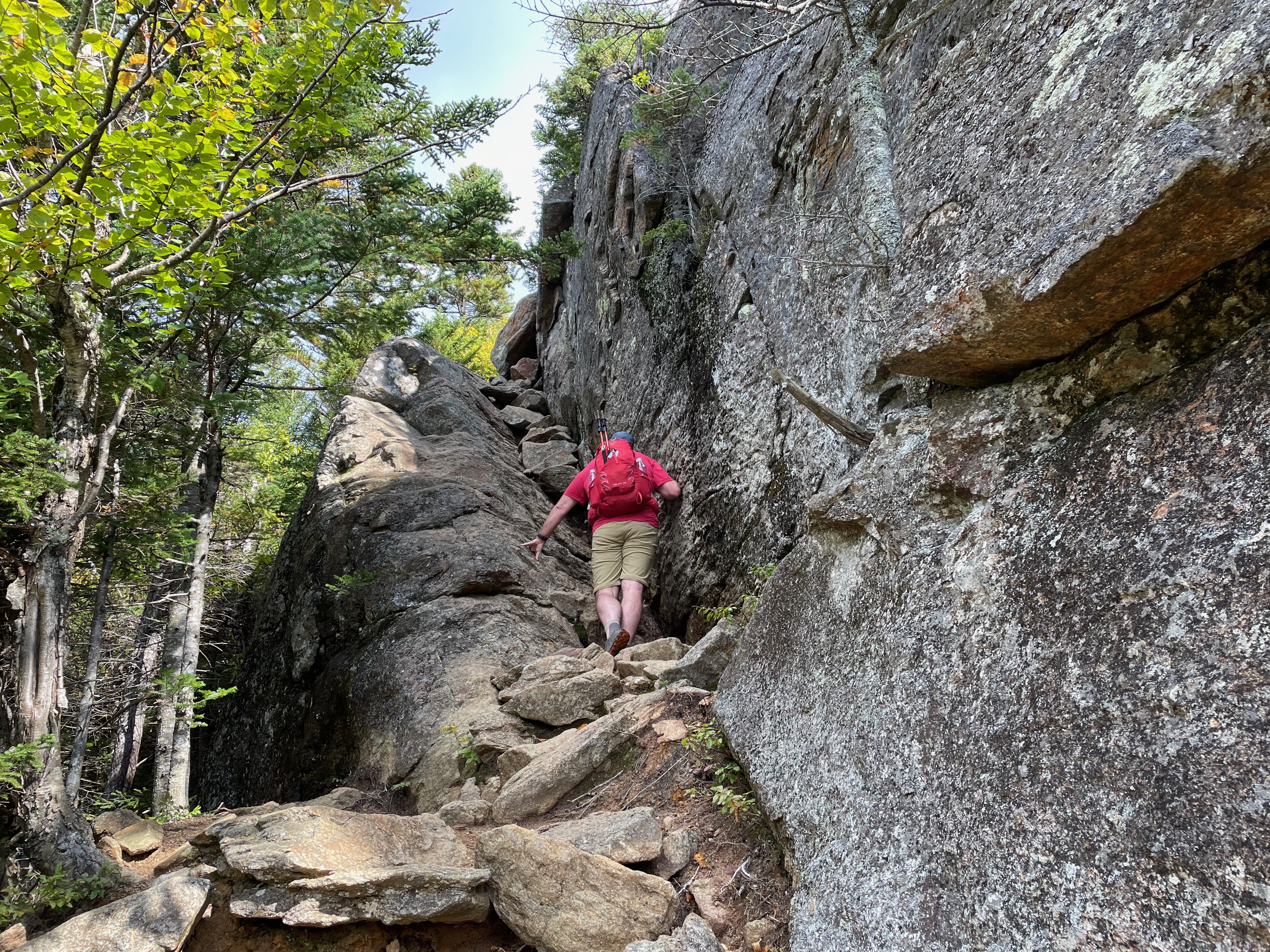
The Wildcat Ridge Trail doesn’t waste any time in ascending. It climbs very steeply for almost 2 miles to the summit of Wildcat D (which is the top of the Wildcat Ski Area you see as you drive through Pinkham Notch) and then descends and ascends over Wildcat C and B, before reaching the summit of Wildcat. From the summit of Wildcat, the trail then descends very steeply down into Carter Notch.
In Carter Notch we took a quick side trip down to the Carter Notch Hut, then back up to the Notch, and descended on the Nineteen Mile Brook Trail to the trailhead on Route 16. The only downside to this side trip is that it is a descent down to the hut, so it’s a bit of an ascent back up. That said the hut offers drinking water and for those who want to pay, you can get yourself a snack while you’re there.
We did this as an end to end hike. You could do it as a loop if you were willing to roadwalk on Route 16, but it would add several miles to the hike and be a rather unpleasant roadwalk with all the traffic on the Route 16. If you had to do it, I’d suggest parking at Pinkham Notch, then walking down to the Nineteen Mile Brook Trail trailhead and doing the loop in the reverse of the way that we did. It would save a long roadwalk that would be uphill the entire time.
Overall, we hiked 10 miles and gained 2,992 feet of elevation along the way.


You can find this hike:
- Described in the White Mountain Guide
- Shown on the AMC White Mountain Map
- Shown on the White Mountains Trail Map
Want more White Mountain Hiking Videos?
- Watch all of the videos I’ve put together for hikes in the White Mountains of New Hampshire on YouTube here.
Hiking Help! Don’t know where to start with hiking, backpacking, and camping? Moe and I can help you! Visit our professional Outdoor Hiking, Backpacking and Camping Guide Services Company at Hike On Guides.
Gear we used on this hike:
- Osprey Talon 22 Pack
- Osprey Kestrel 38 Pack
- Altra Lone Peak Shoes
- Deliberate Life Designs Sandals
- Black Diamond Trail Back Trekking Poles
- Darn Tough Socks
- Sawyer Squeeze Water Filter
- Energizer LED Headlamp
- NEMO Chipper Reclaimed Closed-Cell Foam Seat Pad
- Lenny & Larry’s The Complete Cookie
- Gatorade Endurance Carb Energy Chews
- GU Energy Roctane Ultra Endurance Energy Drink
- Jelly Belly Sport Beans – Energizing Jelly Beans
- Garmin Instinct Watches
- Garmin InReach Explorer GPS
