
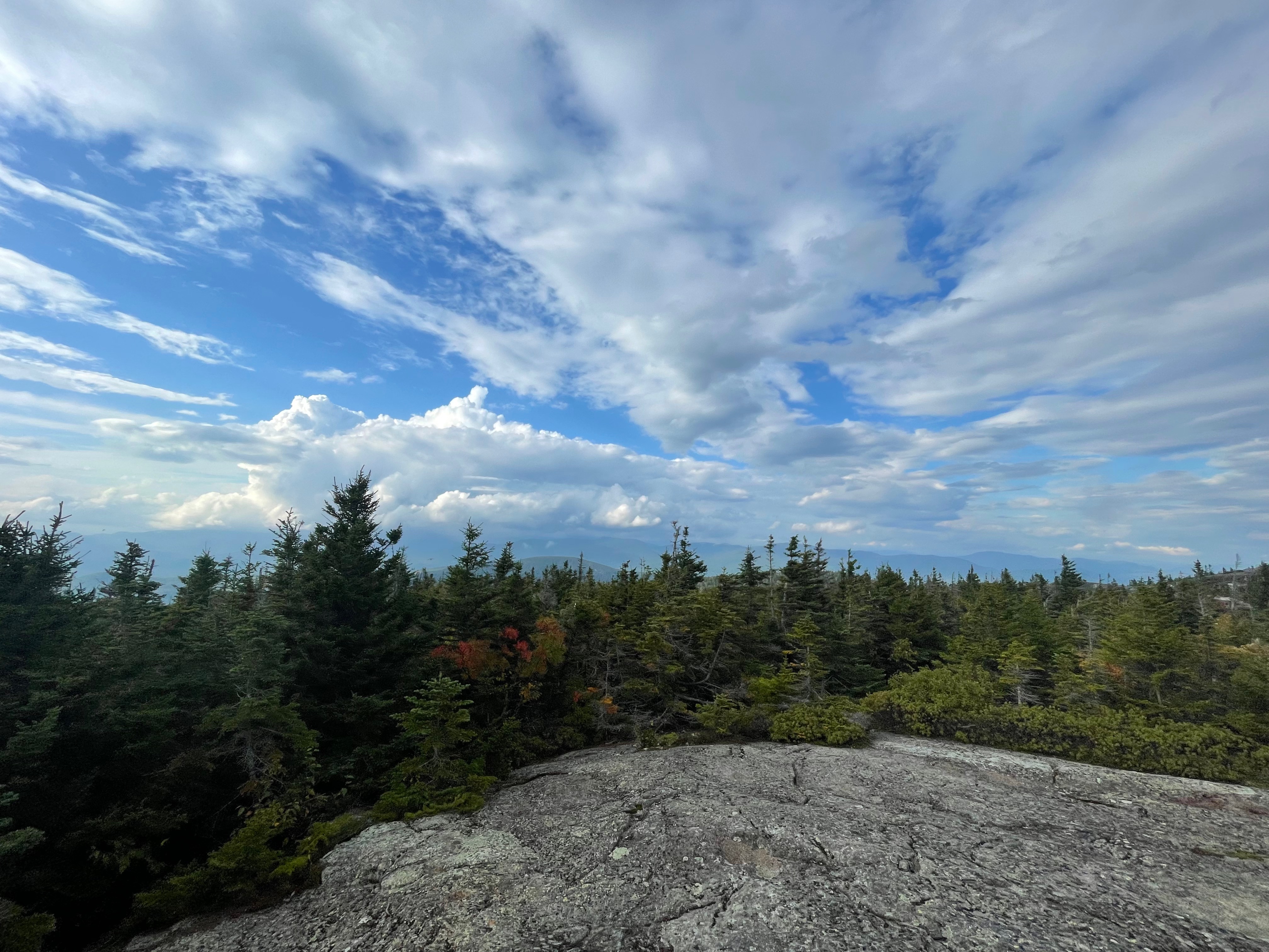
Located in the northwestern corner of the White Mountain National Forest, just over the state line in Maine — Caribou Mountain may not seem like much based on elevation, but this 7.3 mile loop hike gives you some amazing views of the White Mountains to the east, and the mountains of western Maine to the west.
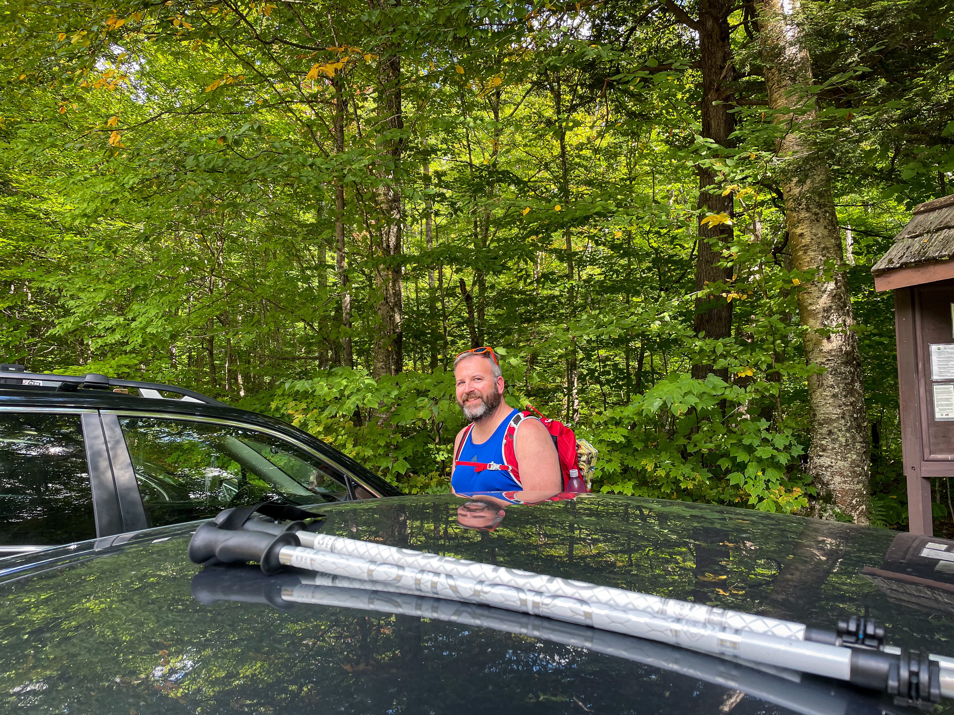
The trailhead for Caribou Mountain is located on Route 113, about a mile or so south of the US Forest Service’s Hastings Campground and a few miles north of Evans Notch. Note that Route 113 is gated and closed in the winter months just south of Route 2 in the north to a few miles south of Evans Notch, so this trailhead is only accessible when there isn’t snow on the roadways and the gate is open.
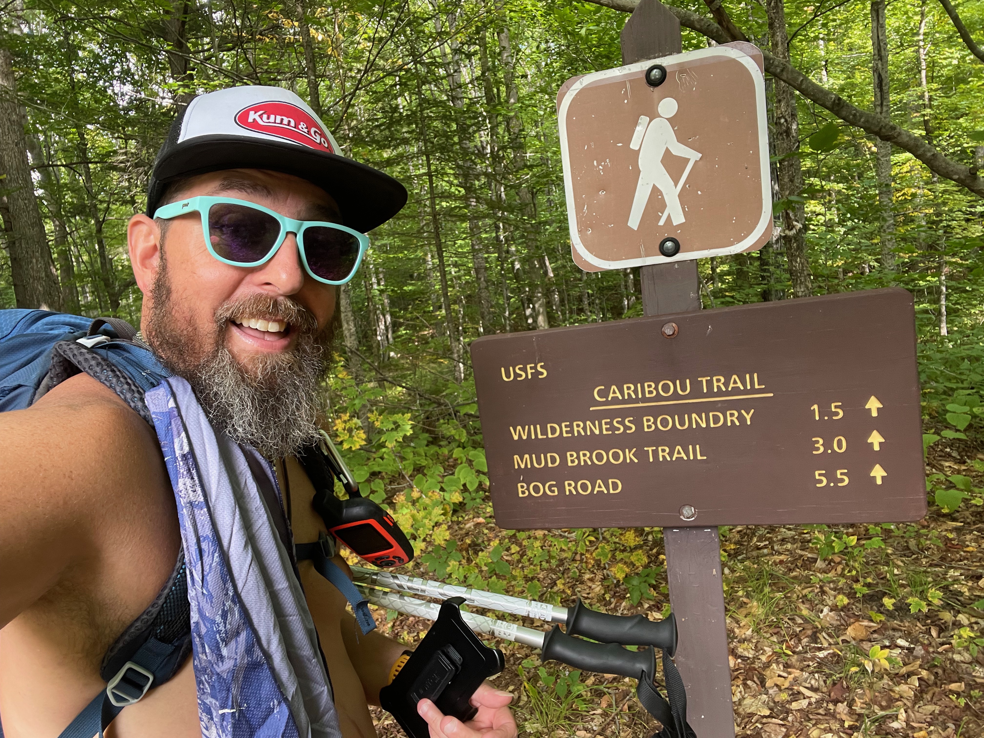
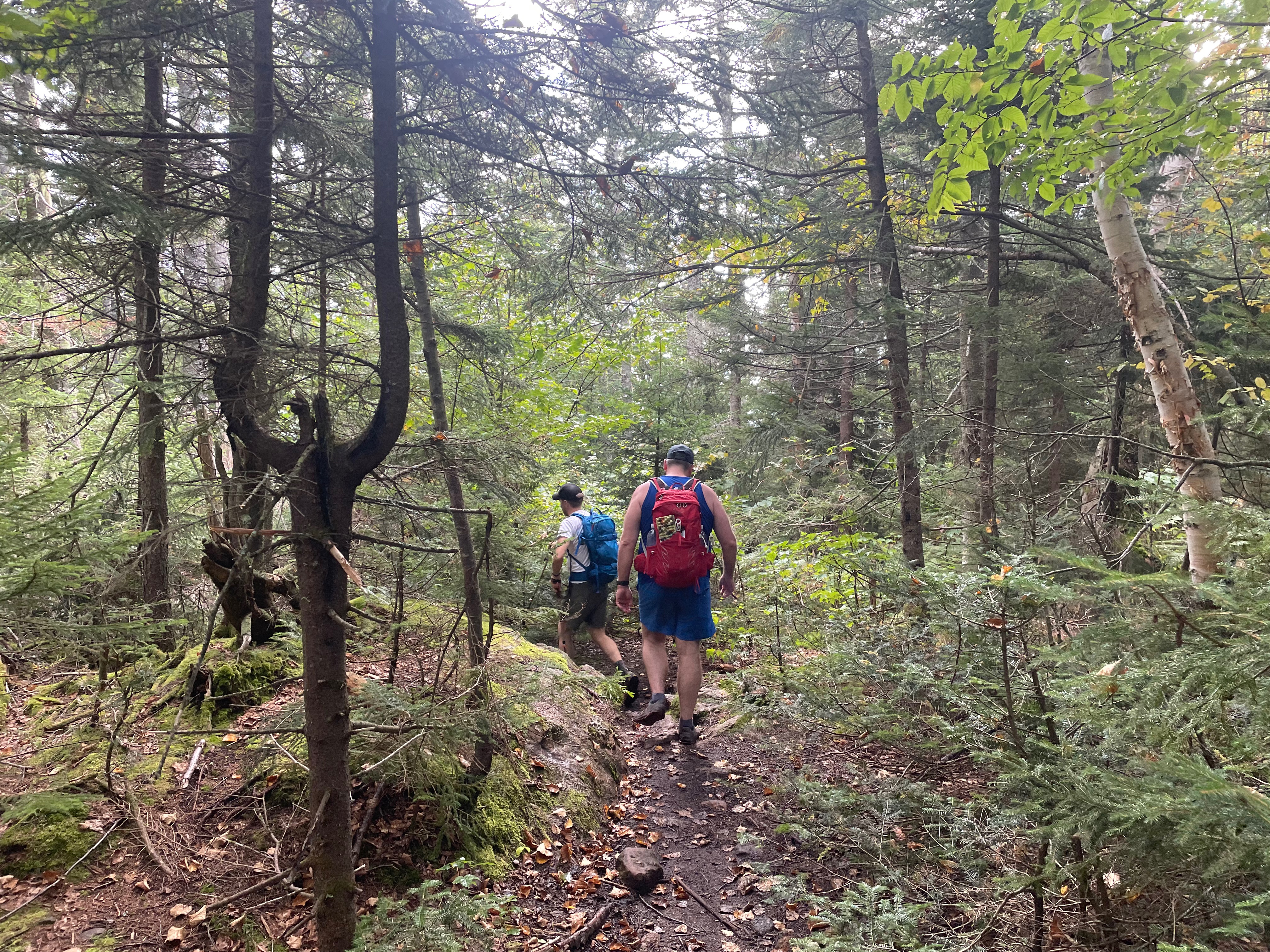
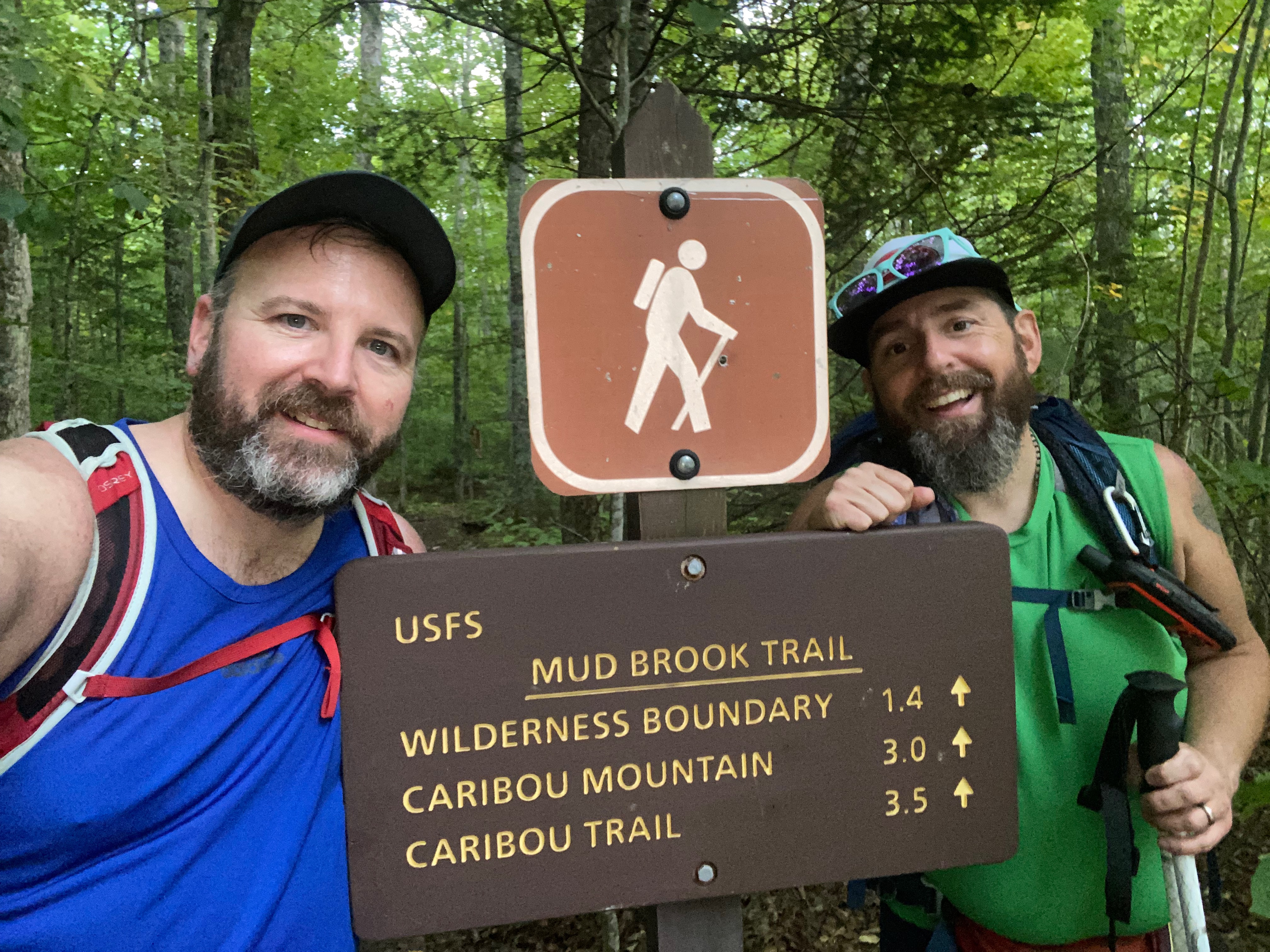
Two trails depart at the trailhead, the Caribou Trail, and the Mud Brook Trail — which make up the loop hike. For our hike, we started on the Caribou Trail, which travels 3 miles, following Morrison Brook much of the way, to the notch between Gammon Mountain and Caribou Mountain. From there, the Caribou Trail continues to the north down to Bog Road, but we turned right (south) onto the Mud Brook Trail and began ascending Caribou Mountain.
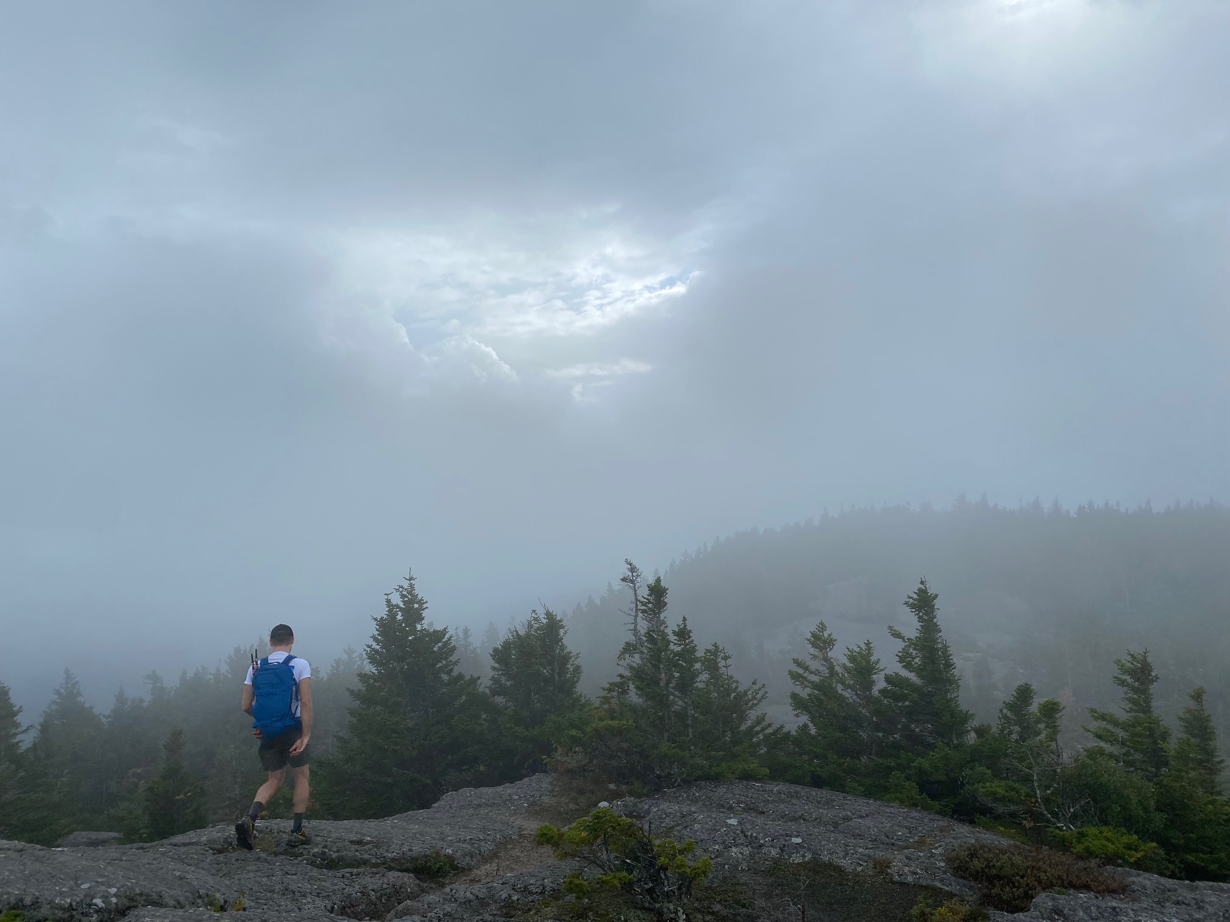
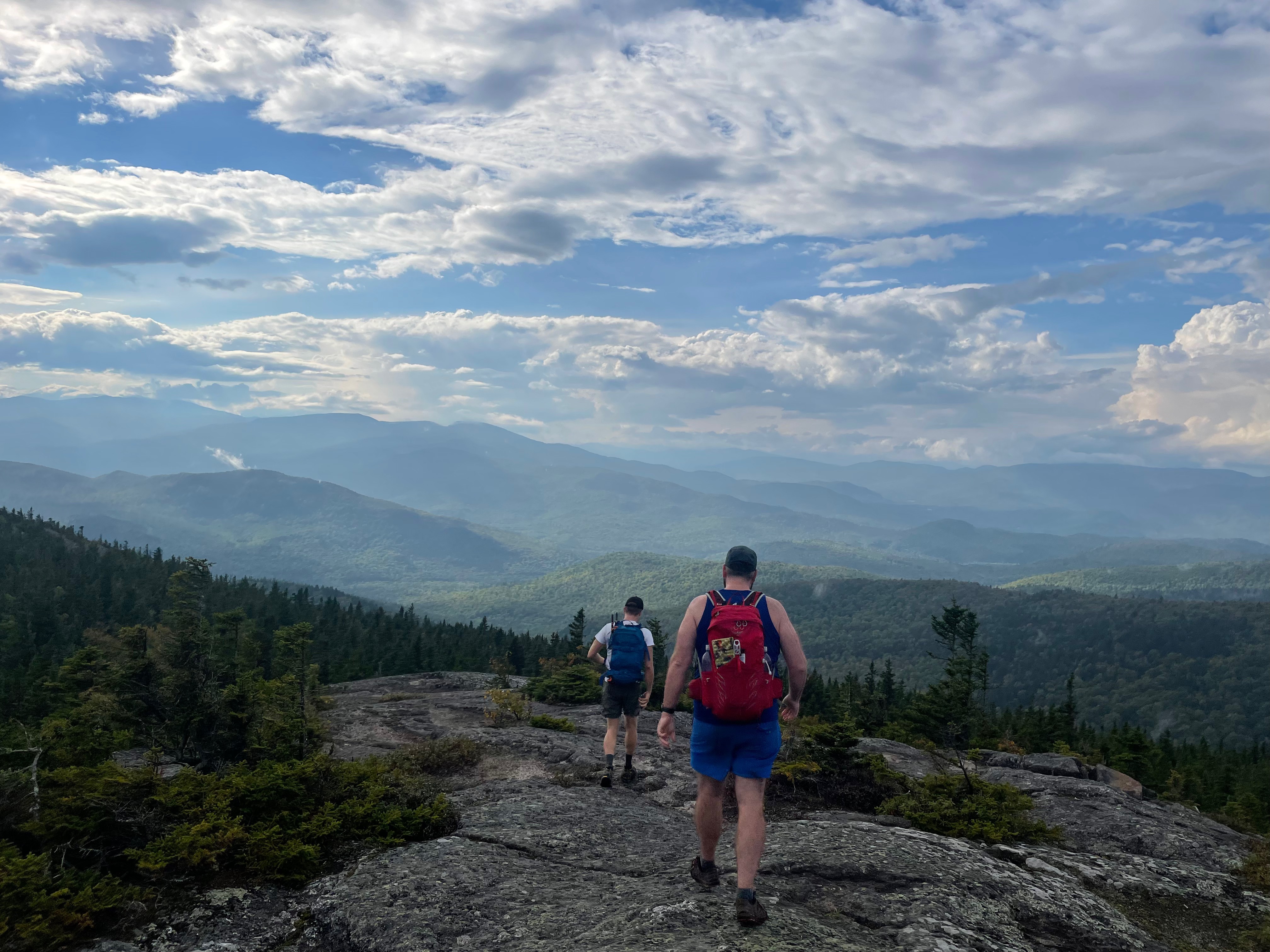
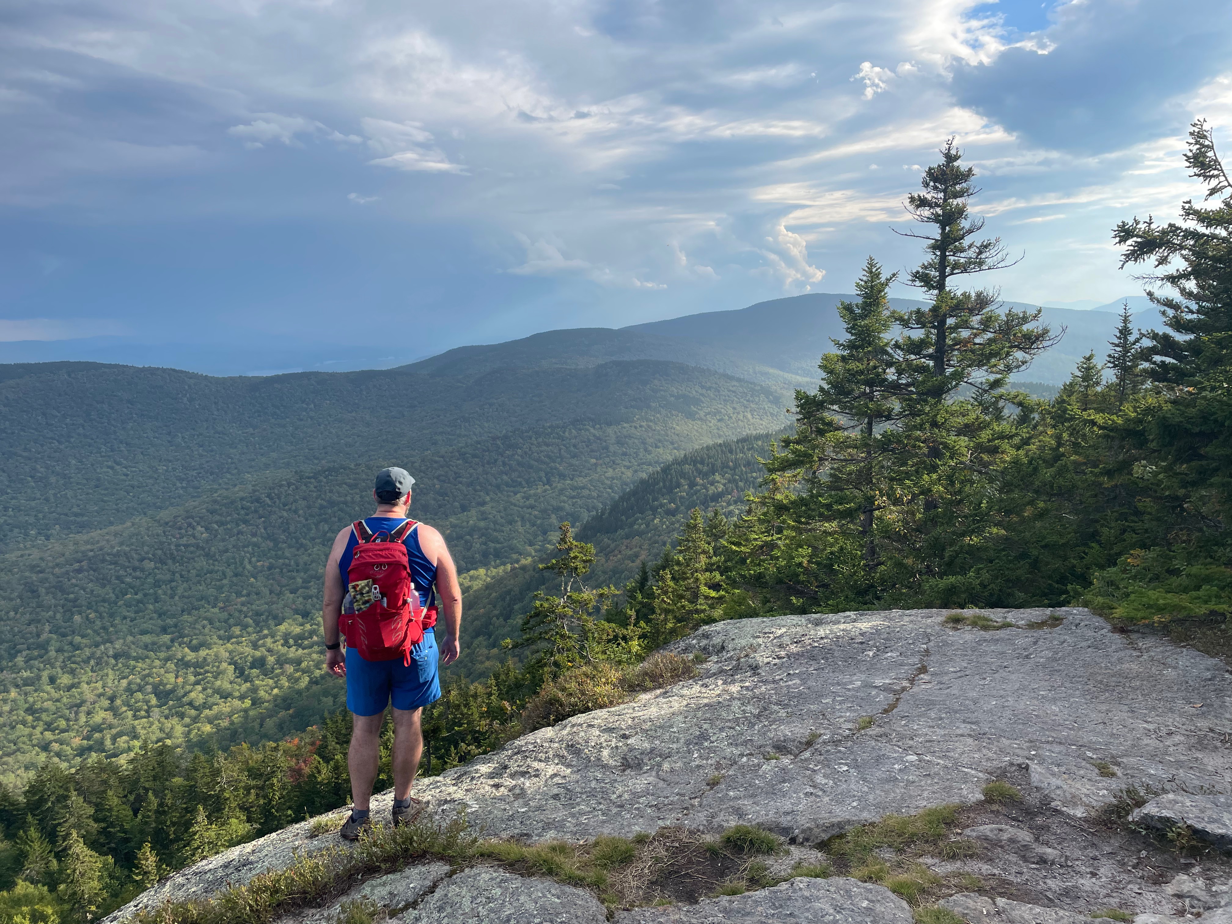
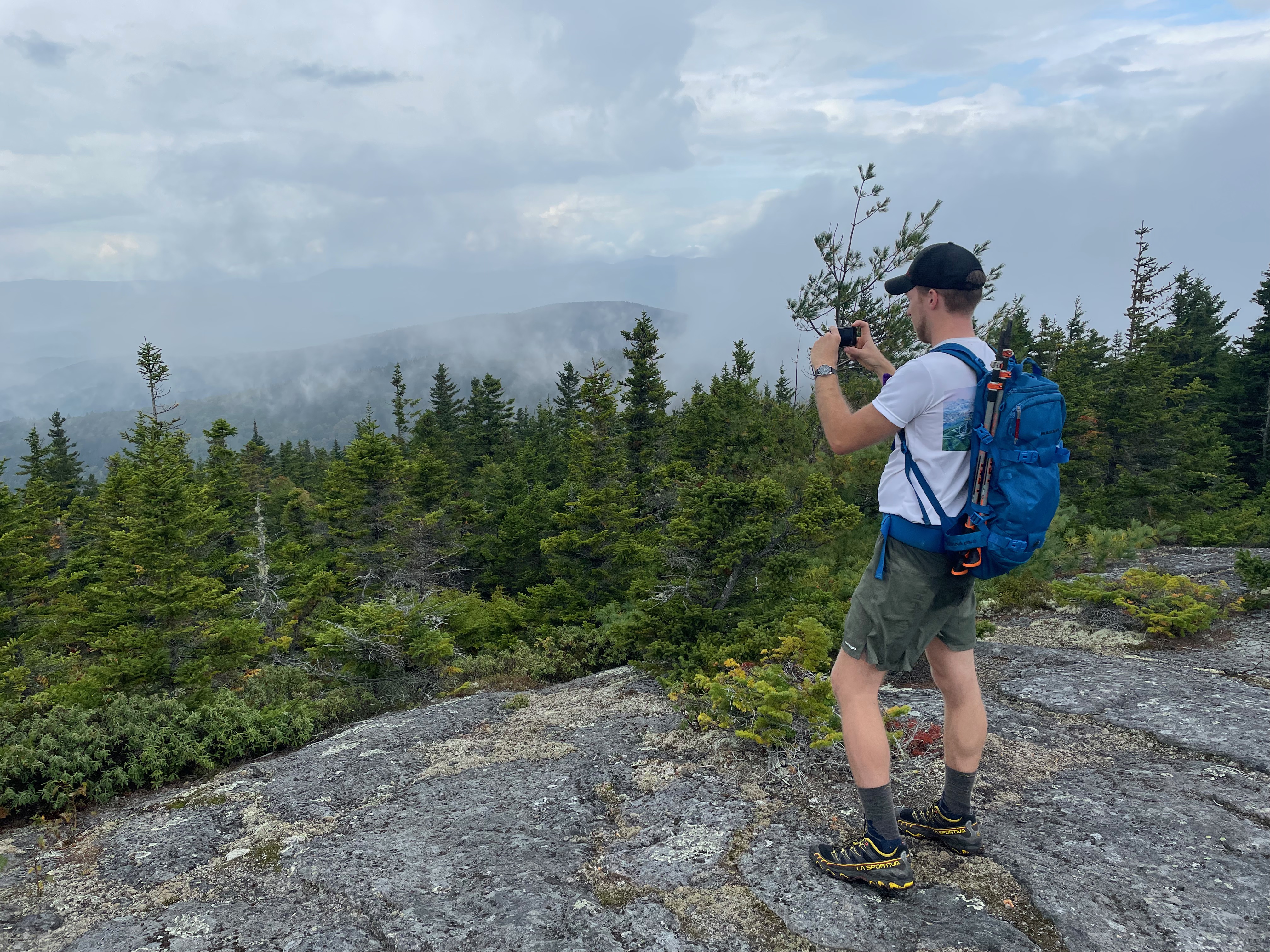
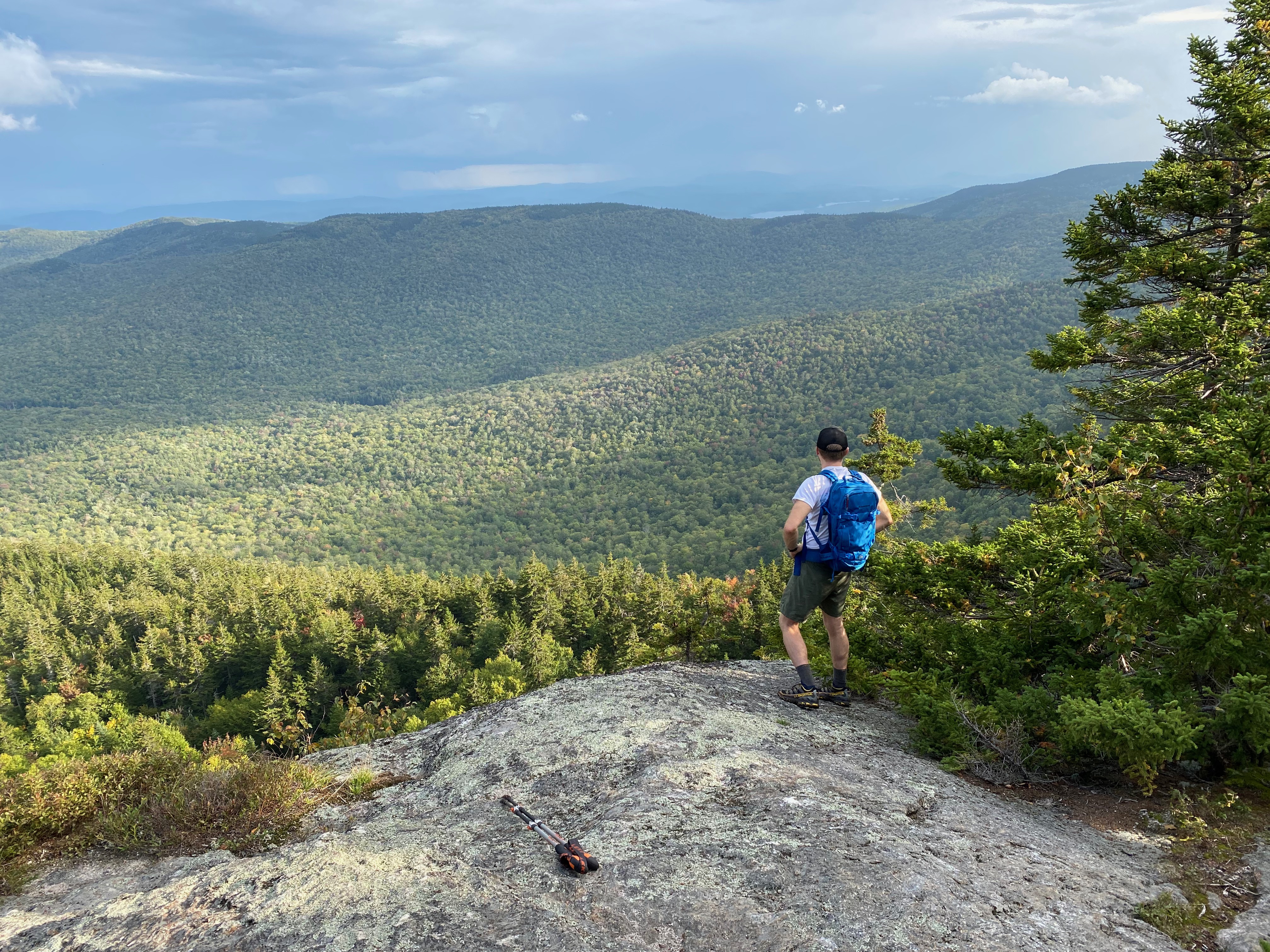
After a short, steep ascent to the mountain’s rocky ridge, the trail leveled off and it was rolling rock hills as we made our way along the ridge. The summit sits towards the northern end of the ridge, and is quickly reached. From the summit, you descend slightly, continuing to follow the rocky ridge all the way to the southern edge of the mountain, where you begin to quickly descend. The descent off the peak and down into the Mud Brook valley is steep, though the trail is in good condition.
Once you reach Mud Brook, the trail levels off and begins descending more gently, following the brook until you return to the trailhead on Route 113.
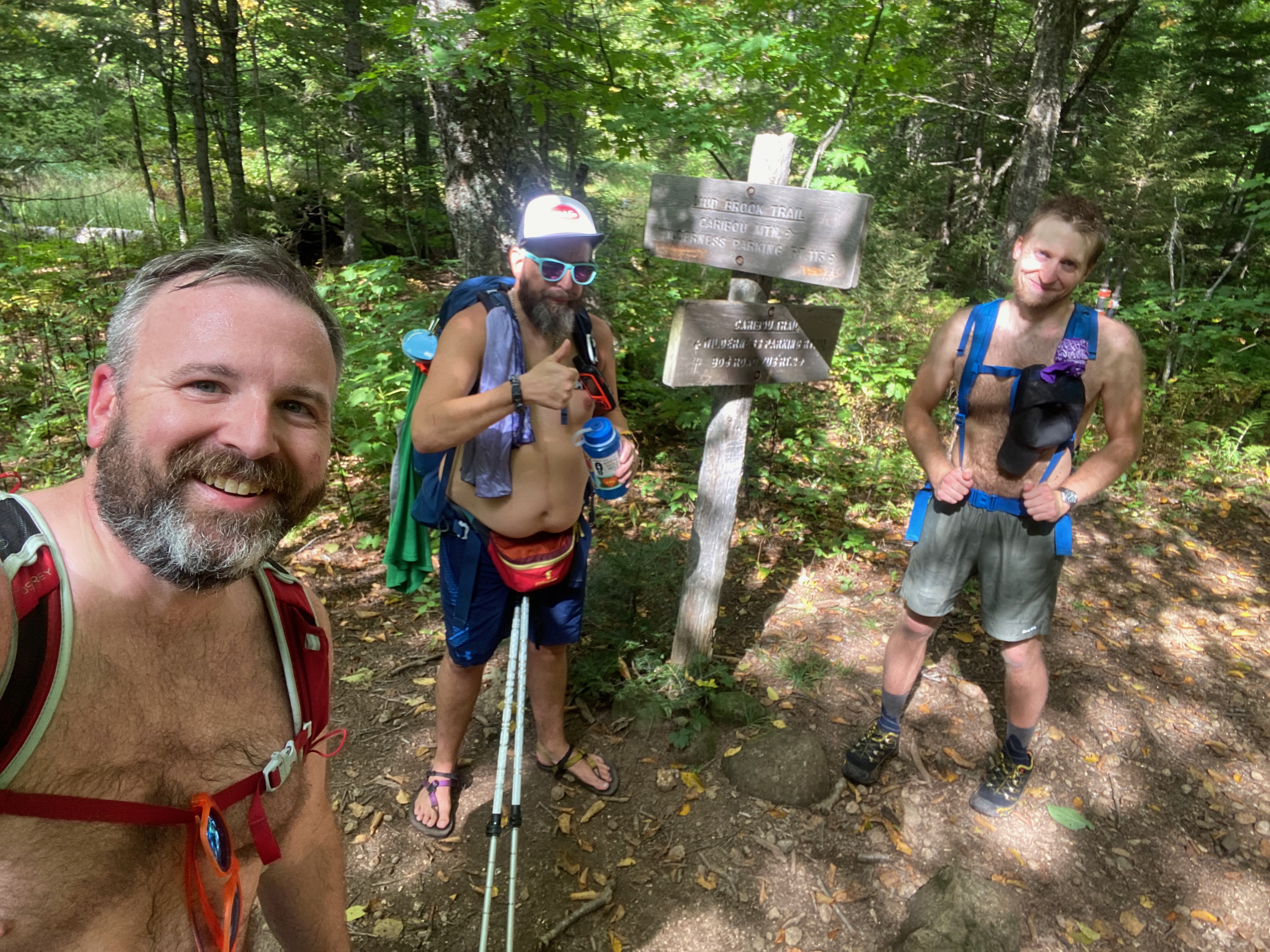
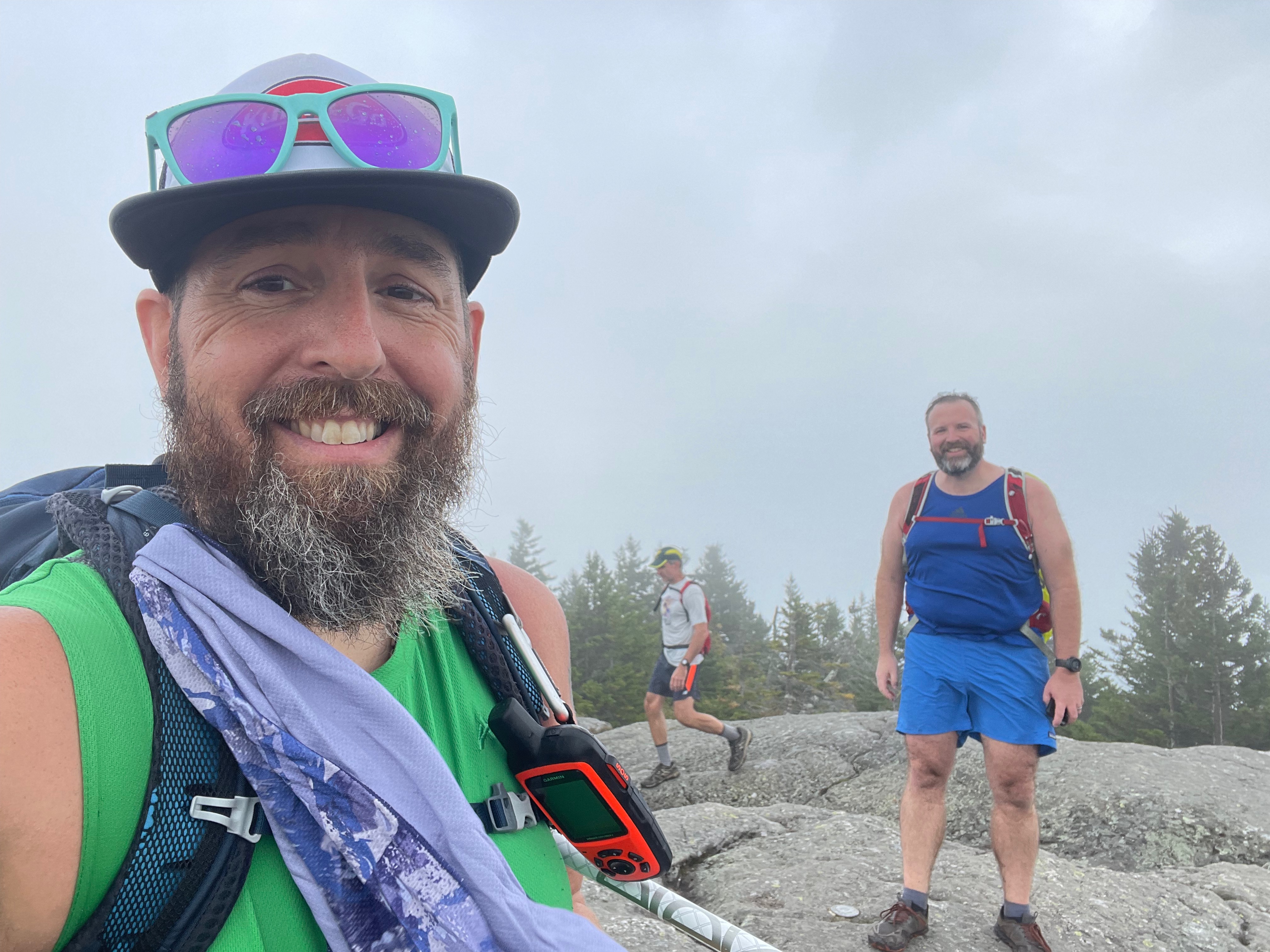
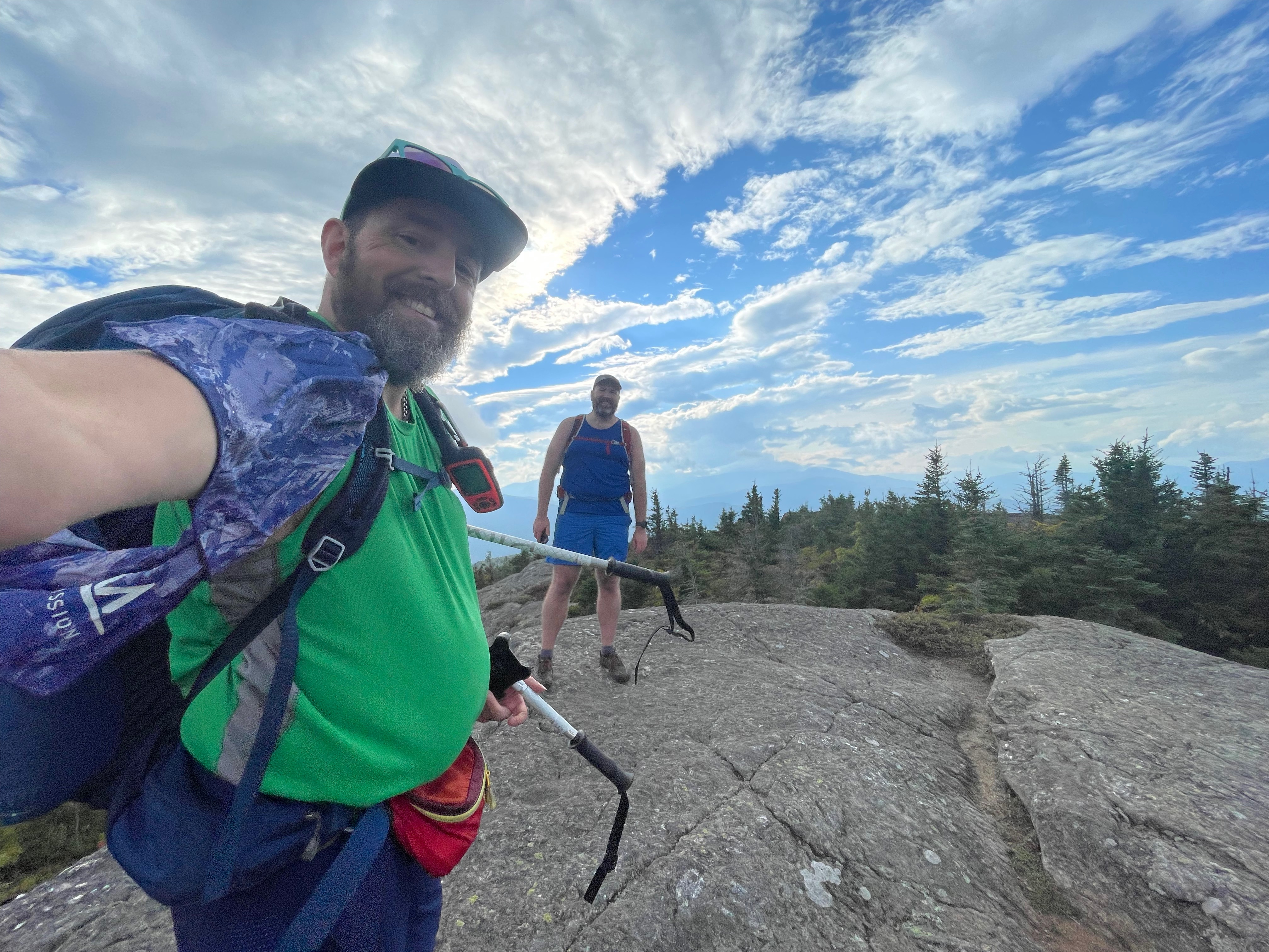
We hiked with our friend Pat and while we were somewhat familiar with the area, none of us had been on Caribou Mountain. All three of us were really surprised at just how good a view there was and how enjoyable overall the hike was.
The entire hike was 7.3 miles and we had 1,972’ of elevation gain along the way.

You can find this hike:
- Described in the White Mountain Guide
- Shown on the AMC White Mountain Map
- Shown on the White Mountains Trail Map
Want more White Mountain Hiking Videos?
- Watch all of the videos I’ve put together for hikes in the White Mountains of New Hampshire on YouTube here.
Hiking Help! Don’t know where to start with hiking, backpacking, and camping? Moe and I can help you! Visit our professional Outdoor Hiking, Backpacking and Camping Guide Services Company at Hike On Guides.
Gear we used on this hike:
- Osprey Talon 22 Pack
- Osprey Kestrel 38 Pack
- Altra Lone Peak Shoes
- Deliberate Life Designs Sandals
- Black Diamond Trail Back Trekking Poles
- Darn Tough Socks
- Sawyer Squeeze Water Filter
- Energizer LED Headlamp
- NEMO Chipper Reclaimed Closed-Cell Foam Seat Pad
- Lenny & Larry’s The Complete Cookie
- Gatorade Endurance Carb Energy Chews
- GU Energy Roctane Ultra Endurance Energy Drink
- Jelly Belly Sport Beans – Energizing Jelly Beans
