
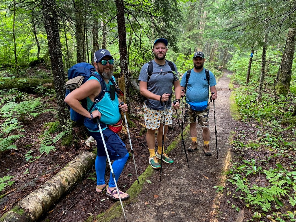
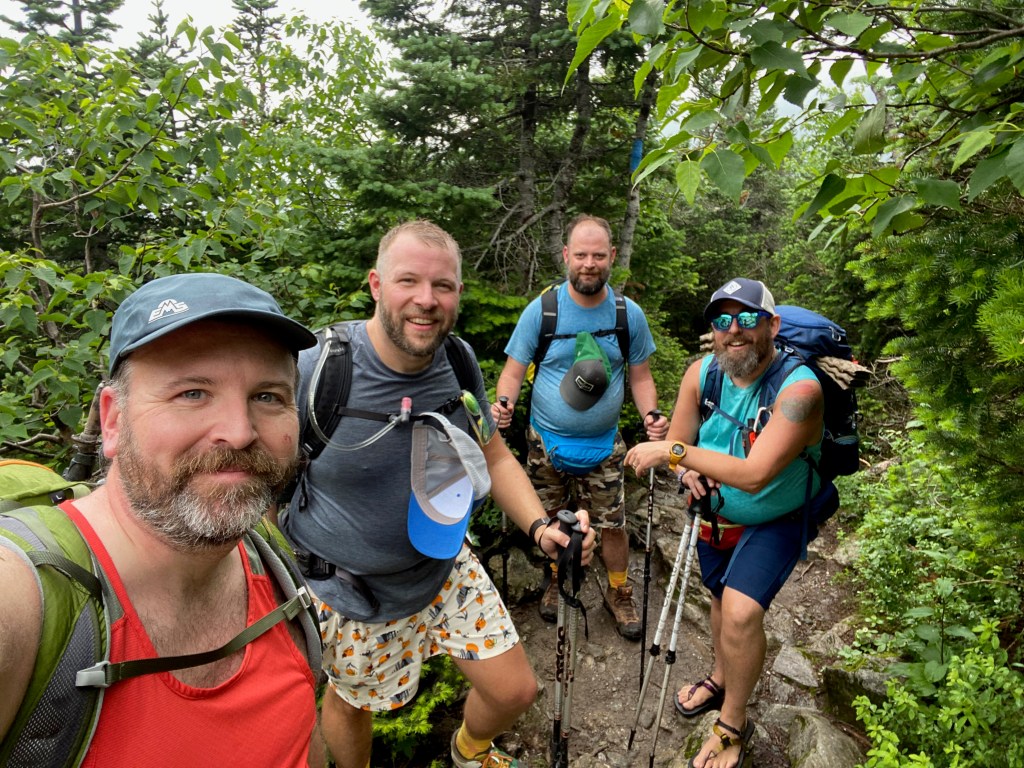
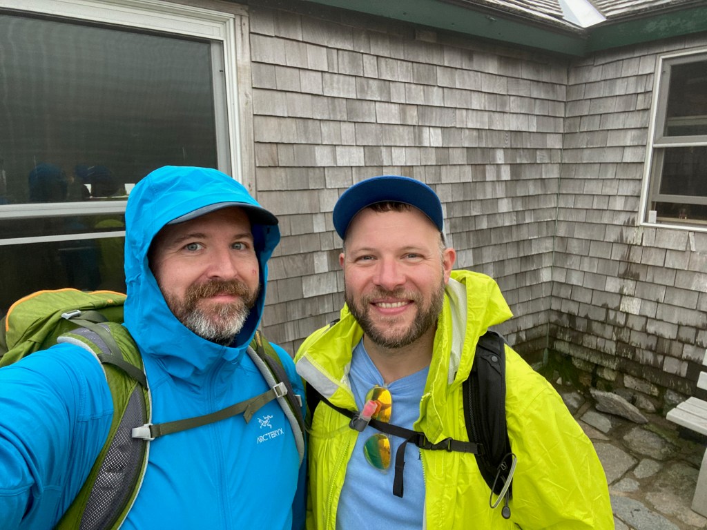
With friends visiting from Oklahoma who had never hiked in the northeast, what better introduction is there than Mount Washington? Part of our trip was based out of our NH place, so all was perfect, except for the monsoonal rainy season we seemed to have for most of July.
Even so, we squeaked out a day with decent weather (it didn’t rain except for 15 minutes), and even though the guys were quite tired by the end of the day, both David and Paul really did an excellent job on what is one heck of a climb.
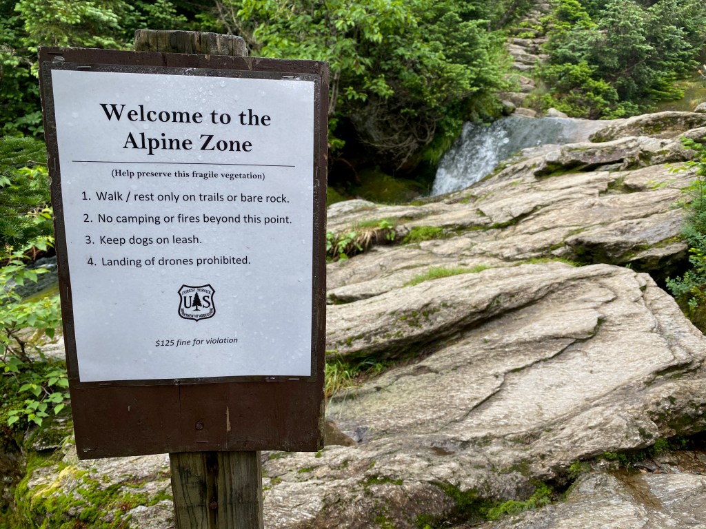
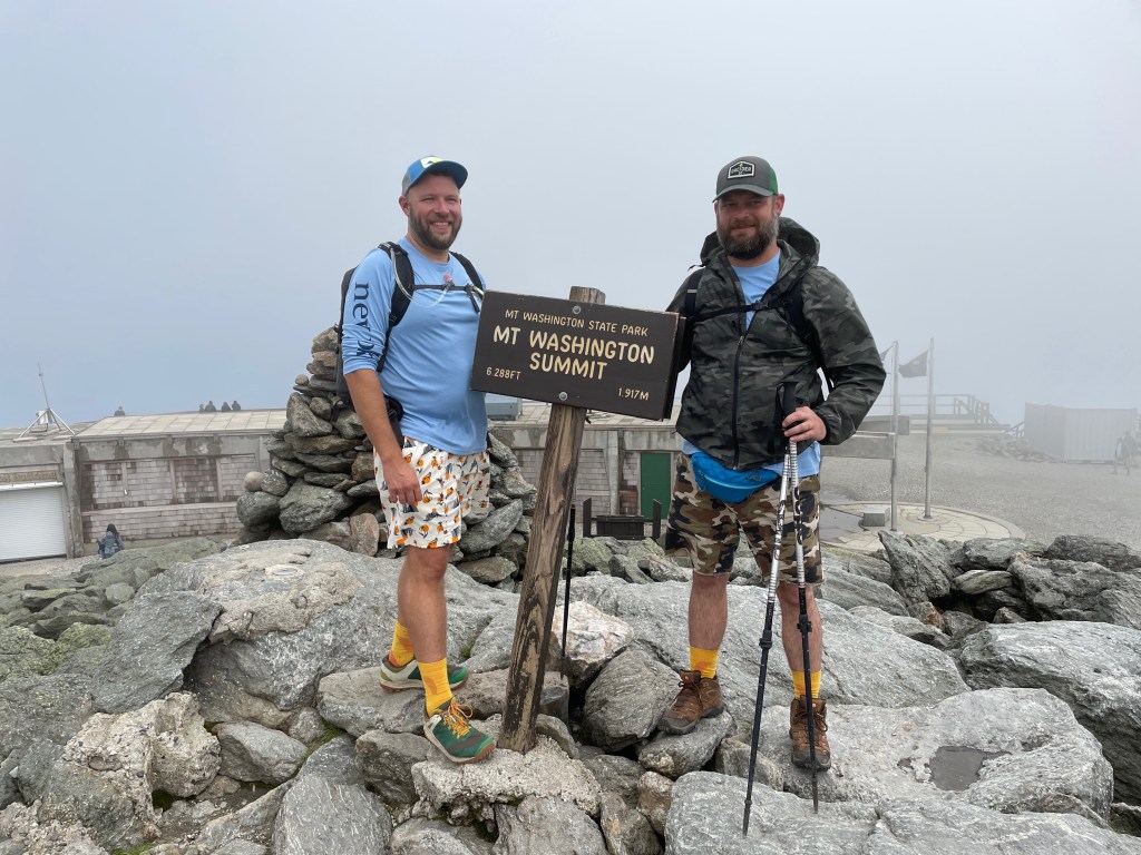
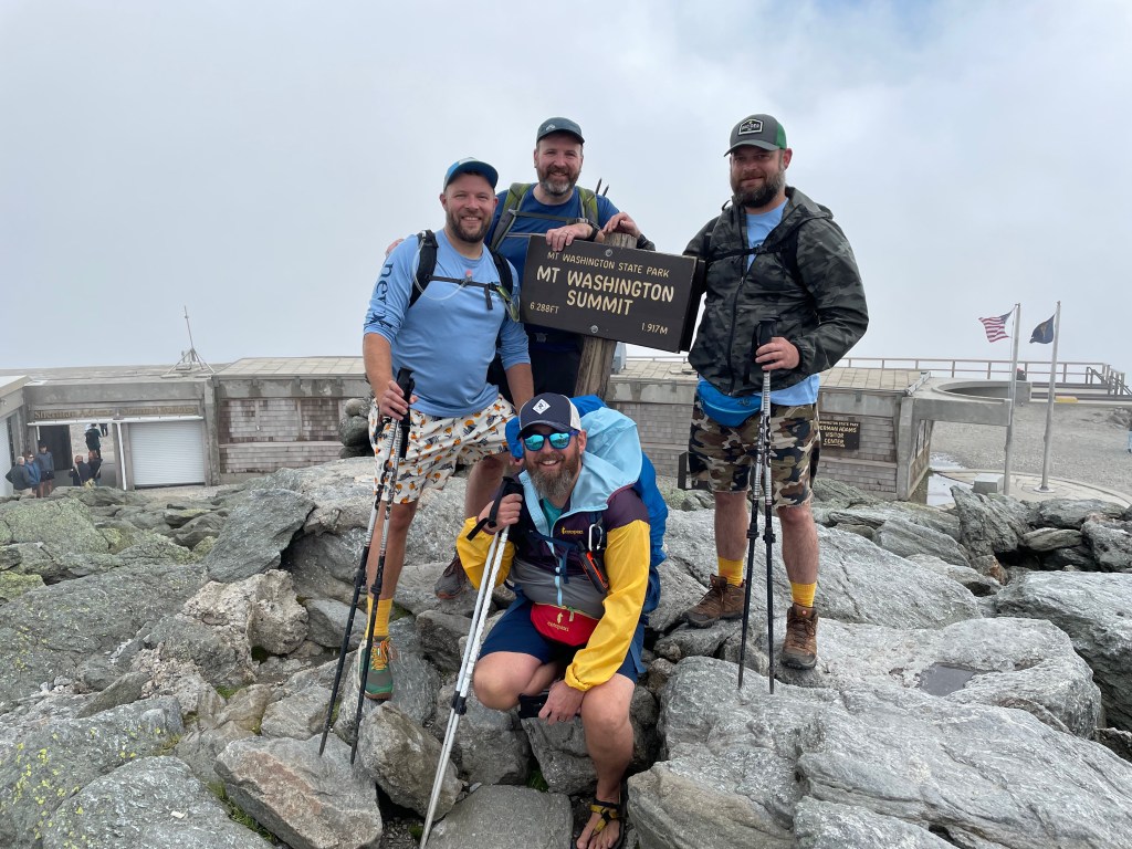
Sitting at 6,288 feet in height, and part of the large Presidential Range of the White Mountains, Mount Washington reaches well into the alpine zone and is home to what some consider the world’s worst weather. The mountain is often shrouded in clouds with weather that’s more reminiscent of areas of the arctic far to the north. While the weather wasn’t great for our climb, it wasn’t that bad either with temperatures in the 50s and 60s and winds in the 30mph range. For the most part we were hiking in the clouds once we reached the alpine zone, but we did have occasional views as the clouds would blow out. By the end of the hike, the clouds were definitely lifting and we could see the climb we had just made.
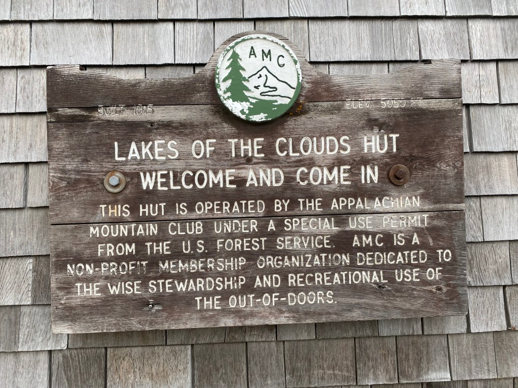
Our go to introduction route to this mountain is to ascend via the Ammonoosuc Ravine Trail. The trail, while steep as it ascends to the Appalachian Mountain Club’s Lakes of the Cloud Hut is relatively protected and doesn’t have any technical (or even really scary) climbing. At the Hut, the Ammonoosuc Ravine Trail ends and we follow the much more mellow Crawford Path to the summit of Mount Washington. From the summit, it was down on the Gulfside Trail to the Jewell Trail, which we followed down to the Cog Train base station and back to the Ammonoosuc Ravine Trailhead parking where we started.
When all was said and done, our our total hike was 10.4 miles with 3,947 feet of elevation gain.
Best part? We got some views at the summit as the wind blew the clouds out for a few minutes at a time, and having hot dogs at the summit. There’s something to be said for a snackbar on a mountain.


You can find this hike:
- Described in the White Mountain Guide
- Shown on the AMC White Mountain Map
- Shown on the White Mountains Trail Map
- Shown on the Dartmouth Outing Guide Map
Need Outdoor Hiking, Backpacking and Camping Guide Services to explore places like this:
Hike On Guides (hike with Moe and I!)
Gear we used on this video:
- Osprey Talon 22 Pack
- Osprey Kestrel 38 Pack
- Altra Lone Peak Shoes
- Deliberate Life Designs Sandals
- Black Diamond Trail Back Trekking Poles
- Darn Tough Socks
- Injinji Trail Midweight Mini-Crew Socks
- Sawyer Squeeze Water Filter
- Energizer LED Headlamp
- NEMO Chipper Reclaimed Closed-Cell Foam Seat Pad
- Mountain Hardwear Acadia Jacket
- Columbia Titanium Outdry Ex Reign Jacket

Taking friends on a hike is always fun
For sure! It was a great way to introduce them to hiking in the northeast and was an awesome time.