
On our latest trip to New Hampshire, despite it being a relatively cold, wet and chilly Fourth of July weekend, we did manage to get out and do a few hikes. The first was one around Dixville Notch in the North Country of New Hampshire. The notch is a rugged gash in the northern mountains, which while not as high as the Whites to the south, have plenty of relief to make for a stunning destination. Dixville Notch is also the northernmost of the major mountain passes/notches in New Hampshire, and home to the abandoned Balsams Resort, which also included a ski area on Mount Gloriette.
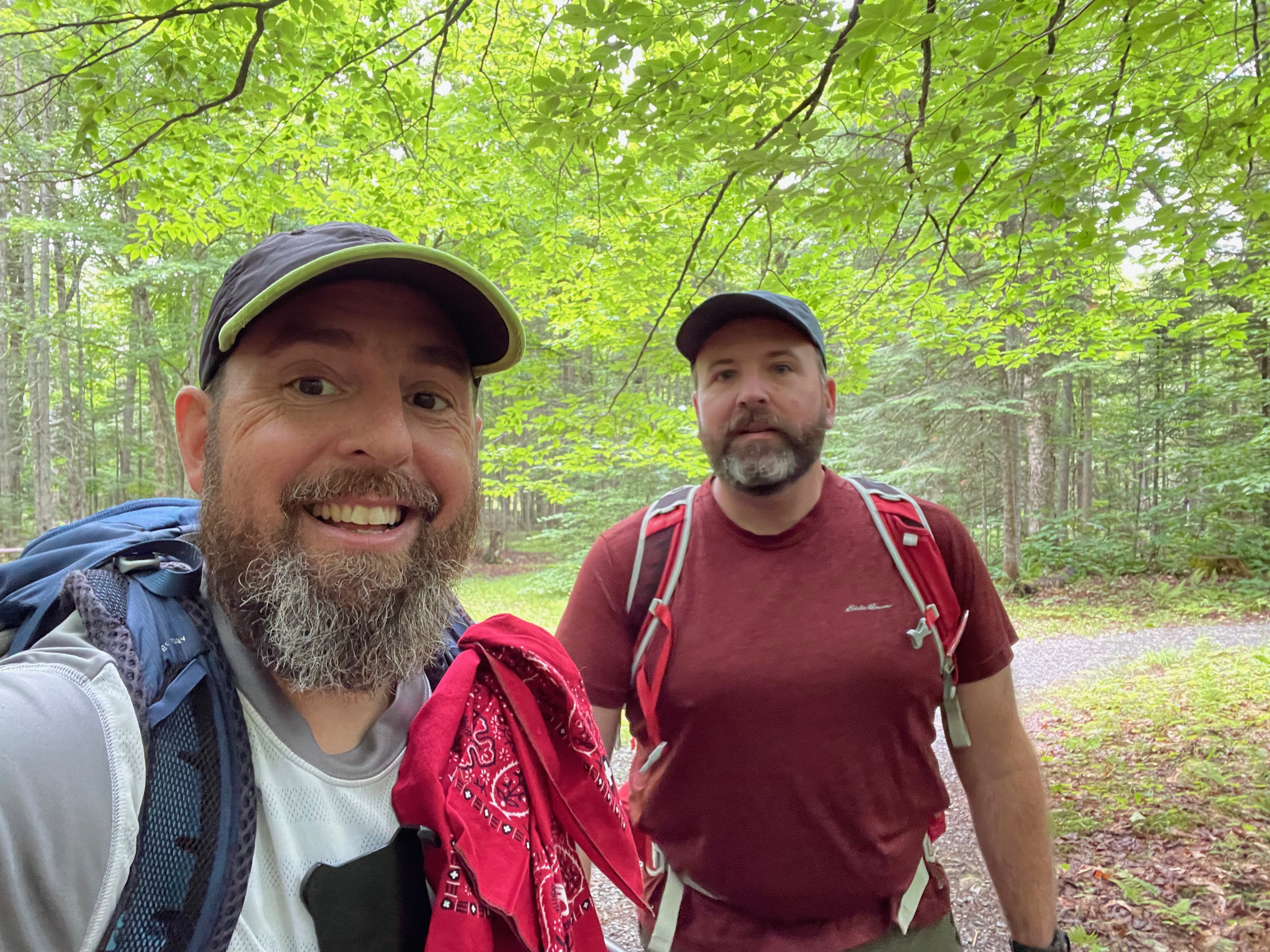
We began our hike at the Cascade Brook Picnic Area/Trailhead located just off of Route 26 east of Dixville Notch. The Three Brothers Trail ascends from the trailhead towards Mount Gloriette and Table Rock above the Notch. The Three Brothers Trail is also host to the Cohos Trail, which traverses a 170-mile long route between Crawford Notch in the White Mountains to the New Hampshire/Canada Border in Pittsburg, NH.
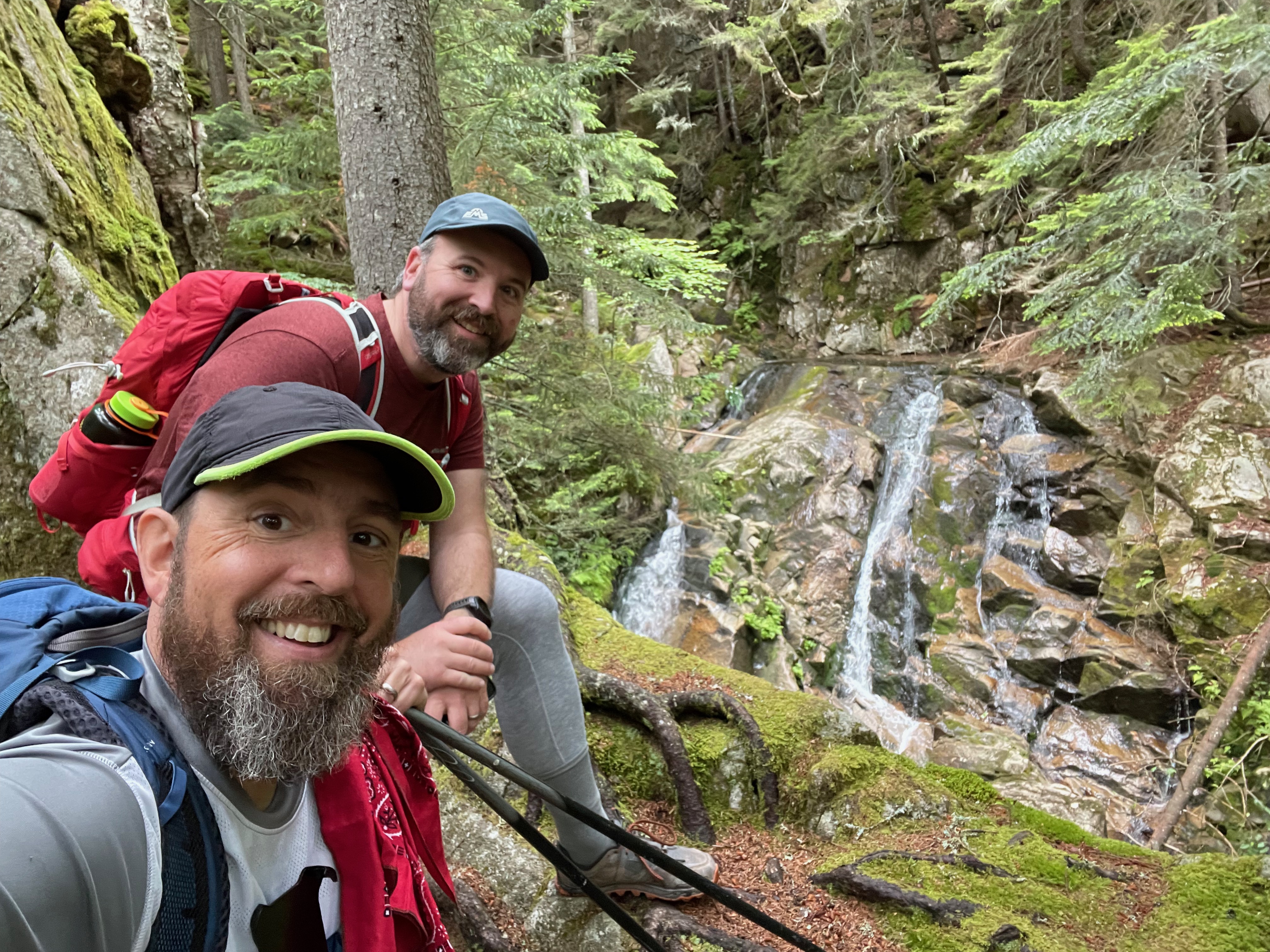
From the parking area we followed the Three Brothers/Cohos Trail south and ascended the shoulder of Mount Gloriette that forms the southern wall of Dixville Notch. During the climb, we passed Huntington Falls, the MiddleBrother Outlook, along with Table Rock before reaching the summit of Mount Gloriette.
Huntington Falls is only a few tenths of a mile from the trailhead and is consists of a series of cascades on Cascade Brook. You get a good view of the lower falls after crossing Cascade Creek and before the significant climbs begin. From the base of the Falls, the trail steepens significantly and climbs along the edge of the gorge formed by the creek – offering views of additional cascades higher up.
About two thirds of the way to the height of land along the notch’s edge, the Middle Brother Outlook provided views up through Dixville Notch atop the high cliffs that form the southern edge of the notch. Just past the height of land, Table Rock was a unique spot that juts out from the notch’s cliffs and forms a relatively flat platform (like a table) that gives you (dizzying) views of the entire notch area. Since it was raining and the rocks were wet, we didn’t venture too far out on to the rock, but what we did see was stunning.
From Table Rock we continued on the Cohos Trail to the summit of Mount Gloriette and the remains of the old Balsams Resort ski area. The hike from Table Rock to the summit was wet, but fairly easy. We had thought of continuing on to the summit of Dixville Peak after Mount Gloriette, but with the rain and relatively cold temperatures for July, we decided to switch into our dry clothes and rain gear, and then headed back down to the car at the Cascade Brook Trailhead. The hike was a 6 mile in and out hike and we utilized the Cohos Trail for the entire length of the hike.


You can find this hike:
Described in the White Mountain Guide
Need Outdoor Hiking, Backpacking and Camping Guide Services to explore places like this:
Hike On Guides (hike with Moe and I!)
Gear we used on this video:
- Osprey Talon 22 Pack
- Osprey Kestrel 38 Pack
- Altra Lone Peak Shoes
- Deliberate Life Designs Sandals
- Black Diamond Trail Back Trekking Poles
- Darn Tough Socks
- Injinji Trail Midweight Mini-Crew Socks
- Sawyer Squeeze Water Filter
- Energizer LED Headlamp
- NEMO Chipper Reclaimed Closed-Cell Foam Seat Pad
- Mountain Hardwear Acadia Jacket
- Columbia Titanium Outdry Ex Reign Jacket
